


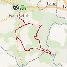


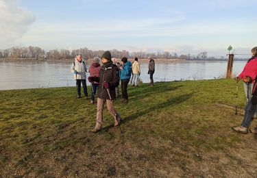
14.6 km | 18.6 km-effort


User


FREE GPS app for hiking
 SityTrail
IGN / Geographical institutes
SityTrail World
The world is yours!
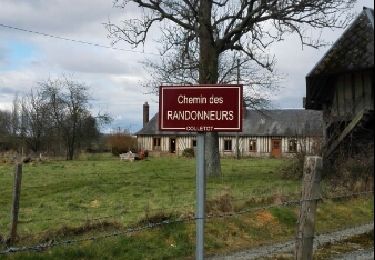
Trail Walking of 7.8 km to be discovered at Normandy, Eure, Le Perrey. This trail is proposed by dominiquelouis.
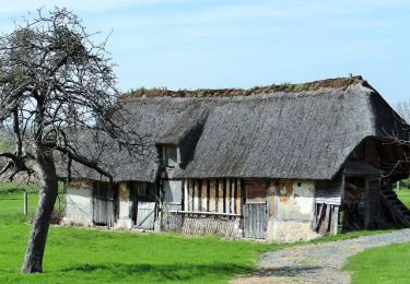
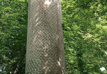
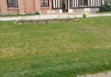
Dans un vallon préservé en Normandie, des chemins creux entre bocage et forêt présente une impressionnante collection d'arbres taillés en têtard: plusieurs centaines de charmes, de frênes...


Walking
On foot
Walking
Walking
Walking

Walking
Walking
